
Monmouth Neighbors: Sources for One Block
Public sources describe land, transfers, municipal work, and some organizations around a block. They do not create a complete list of the people who live there. The distinction matters in Monmouth County, where a parcel owner can be elsewhere, an address may be protected, and a map line may only be a geographic reference. Start with the source that answers a narrow question and retain the limits beside the result.
| Source | What it can show about a block | Access route |
|---|---|---|
| County GIS and GeoHub | Parcel shapes, adjacent lots, layers, and block-lot context | Public map viewer; tools change over time |
| OPRS property and MOD-IV | Owner, mailing or situs clue, assessment context | Public property search; data has title and occupancy caveats |
| Recorded deed index | Transfer chain for a particular parcel | OPRS deeds from 1970; archive routes for earlier work |
| Voter records | Lawfully available registration or district-list information | Confirmation tool or Commissioner request under statute |
| Municipal files | Permits, certificates, or code material tied to an address | Town custodian or OPRA; fields vary by municipality |
| Directories and community sources | Historic occupants or a public organization route | Library, archives, notices, and registration records; no assumed roster |
An owner entry, tax mailing address, or deed party can establish a property connection. It cannot show every neighbor, renter, child, guest, utility customer, or person at a protected address. The safest label for this research is a parcel or public-record lead, not a household roster.
Monmouth Neighbors: Owner, Mailing, and Situs
OPRS separates useful property fields that should not be collapsed into one claim. MOD-IV and tax data may show current owner, mailing address, property location, assessment, sales information, and a tax-map identifier. The situs is the physical parcel location. A mailing address is where tax correspondence or owner contact can be sent, and it can differ because of out-of-town ownership, a business, a vacant lot, or another billing arrangement.
The county search offers address, owner-name, block-and-lot, and map routes. For an address search, use the township and street name or a portion of it. When the street number is uncertain or a label has changed, block, lot, and qualifier are more stable parcel keys. Sales data can add grantor, grantee, price, date, deed book and page, and square footage. Tax-map scans are organized by municipality and year. OPRS is informational, not a warranted title search, and County Clerk title research remains an in-person task.
That distinction helps keep a neighbor search narrow. A nearby parcel can be owned by a trust, an estate, a business, or a person whose tax correspondence goes elsewhere. Compare the property location and transfer details first, then seek a custodian record only if it answers the particular question. Do not infer a person’s present household from a tax mailing field.
Map a Monmouth Neighbors Block by Parcel
The adjacent-parcel method stays focused on the immediate street segment. The county GIS viewer and GeoHub supply the spatial context; OPRS supplies a property route when a parcel identifier needs follow-up. Static research did not verify the current radius, buffer, export, or selection labels, so use the visible live controls rather than assuming a particular button is available.
- Locate the target address in the Monmouth County GIS viewer, then note the parcel or block-lot identifier.
- Zoom to the street segment and click the polygons that touch the target parcel. Record only the parcel identifiers and map context needed for the question.
- Use the OPRS property route for each identifier where lawful, comparing owner, mailing clue, situs, assessment, and sales information without calling an owner an occupant.
- Open the recorded-document index for a transfer question. Compare municipality, legal description, book and page or instrument number, date, and block-lot before linking one deed to the next.
For the full chain along a named street, the Monmouth by-street directory follows the address-record method in more detail. This neighbor workflow stays with the parcels immediately around the starting address.
INSIDER TIP. NJGIN reported Monmouth parcel-geometry updates in August 2026, while owner names remain redacted in its statewide parcel products under Daniel’s Law. Use county OPRS for a permitted owner-name clue and NJGIN for a boundary cross-check, remembering that parcel lines are not surveys.
Monmouth Neighbors and Voter Access
The public New Jersey registration checker is meant to confirm a person’s registration using first name, last name, date of birth, and county. It is not an open street-browse feature. Name matching is exact enough that hyphens, spaces, middle initials, marriage names, and nicknames can matter. A match does not establish that someone is currently present at a particular private address.
For a lawful voter-list question, N.J.S.A. 19:31-31 through 19:31-39 governs district-list access. The Monmouth Commissioner of Registration handles the county route, and the statute allows an electronic district list at reproduction cost up to the stated maximum. Signatures, Social Security numbers, driver or non-driver ID, protected-person addresses, and ballot choices are not public list fields. A voter may be inactive, recently moved, or protected, so an apparent absence is not proof that a person has gone away. Do not turn a district record into a published list of neighbors.
Monmouth Neighbors Community Routes
Community organizations are useful for public notices, local events, and geographic context. They are not a source for private member names or contact lists. The verified examples below show where a reader can find an official organization route without implying a countywide association directory.
| Verified public resource | Useful community context | Important limit |
|---|---|---|
| Monmouth County Library Friends groups | Branch-based community contacts, including Allentown, Atlantic Highlands, Colts Neck, Howell, Oceanport, and Wall | Organized community layer, not a household list |
| Asbury Park city meeting notice | Names the resident-led Asbury Park Homeowners Association and a public meeting route | One municipal example, not a roster or a countywide rule |
| Long Branch district plan | Names Lower and Upper Broadway, West End, Elberon, and oceanfront areas | Geographic context only, not membership information |
| State civic-registration list | Public identity and mailing-route information for listed civic organizations | Registration records do not disclose members |
No official countywide HOA or member directory was located. For a specific association question, use an official notice or public contact route and respect any access boundaries. Current congregation, club, and block-watch rosters were likewise not found in the inspected official material.
Monmouth Neighbors and Municipal Files
Municipal building, code, clerk, and tax offices can be the right place for a question about work, certificates, or violations attached to an address. Freehold’s ordinance confirms retention of permit applications, special-condition permits, plans, and monthly reports, but it does not create a countywide online permit search. A certificate-of-occupancy copy there goes to the owner or authorized agent. Each municipality keeps its own records and access practices, so direct the request to the local custodian and describe the address and record sought.
The Monmouth County municipal directory is a useful starting point for finding the appropriate local office.
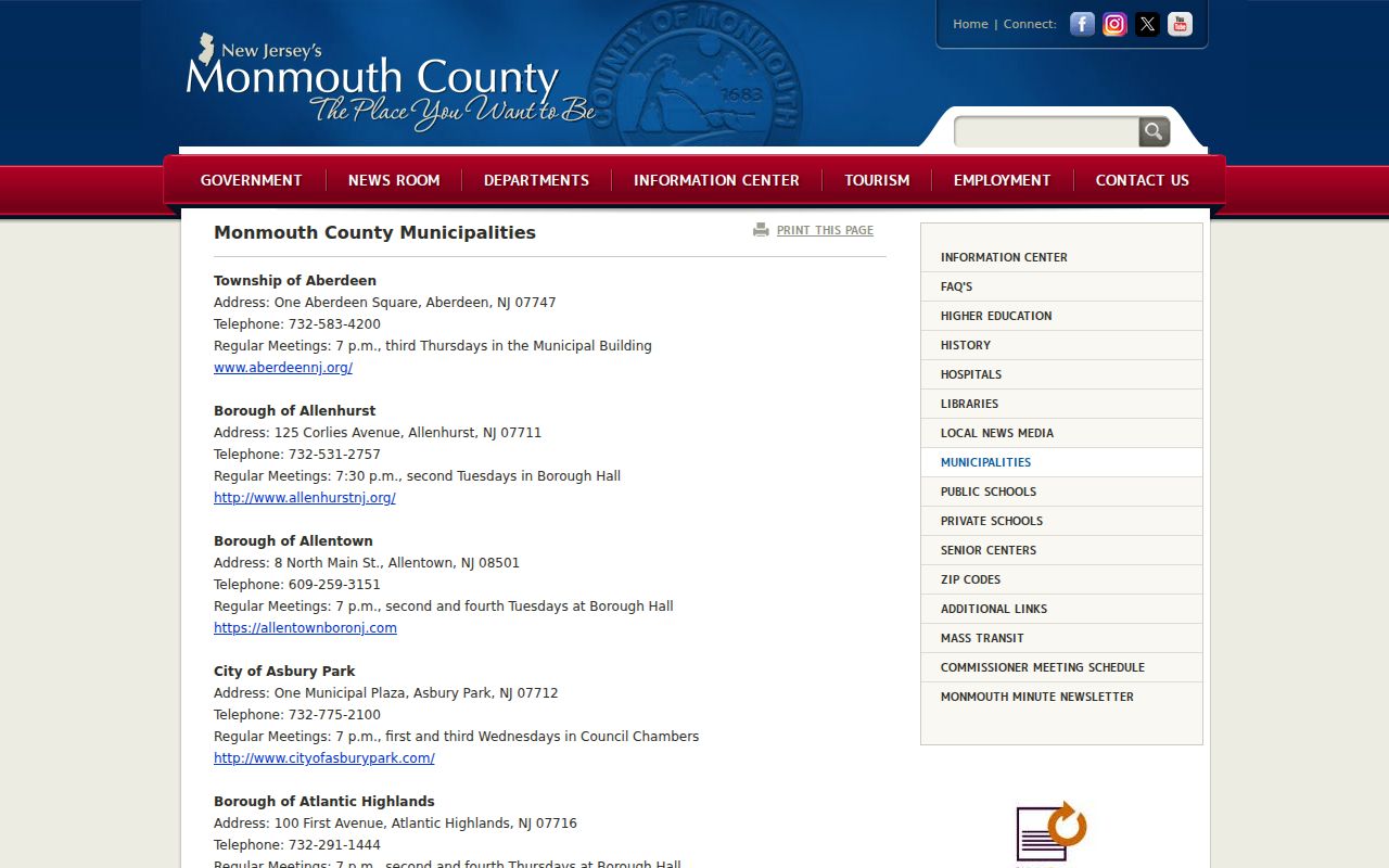
A municipal directory routes a request to an office; it does not establish the identity of people who live on a block.
The Long Branch department directory is another official example of an office-contact route for a specific municipality.
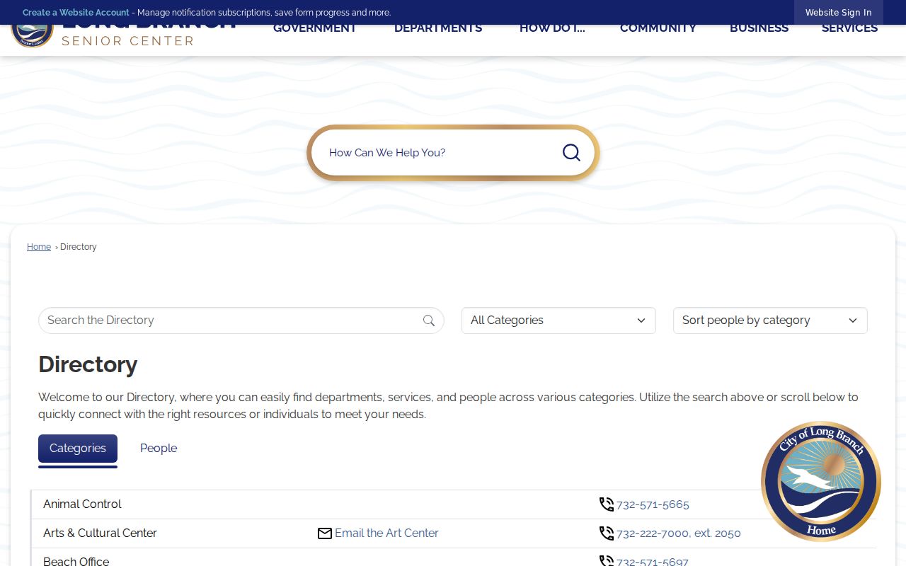
Use a city department listing to identify the custodian for a record request, then verify what that office can release under its own rules.
Monmouth Neighbors: Official and Commercial Sources
| Source category | Strength | Limit for a neighbor question |
|---|---|---|
| Official parcel, deed, voter, or municipal record | Has a named custodian, date, and defined record scope | May show only a parcel, owner, or lawful registration field, with redactions and access limits |
| Commercial neighbor-search category | May compile address fragments and public-record references | Can be stale or wrong, may offer opt-out requests, and is not a substitute for an official map, deed, voter-law request, or municipal record |
For a Monmouth neighbors question, keep the source date and go back to the custodian when accuracy matters. Do not assume a compiled profile is current, and do not use it to fill in information that the public record deliberately withholds. A deed image, for example, can provide a recording date and parties but needs the legal description and parcel identifiers checked before it is associated with an adjacent lot. A map and a transfer record answer different questions, and neither identifies everyone living nearby.
Privacy Limits for Monmouth Neighbors
A block map is parcel geography, not a people roster. Renters, nonregistered household members, children, utility and delivery customers, DMV addresses, protected residents, and sensitive police, court, adoption, or juvenile information are not ordinary public neighbor fields. The New Jersey Address Confidentiality Program protects eligible participants with a substitute address, while Daniel’s Law supports redaction for covered people and their households. NJGIN’s statewide owner-name redaction is one visible effect of that protection.
When a public result appears wrong or overly broad, do not republish it. Contact the source custodian for an error or privacy question. The state’s privacy landscape also includes the New Jersey Data Privacy Act, P.L. 2023, c.266, codified at N.J.S.A. 56:8-166.1 et seq.; official consumer instructions should be checked before promising any particular request process.
Lawful use. Use Monmouth neighbors records only for a specific, lawful personal, civic, or property question. A public record is not permission to monitor, threaten, repeatedly contact, intimidate, or expose a person’s sensitive location; New Jersey anti-stalking and harassment laws apply.